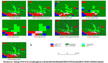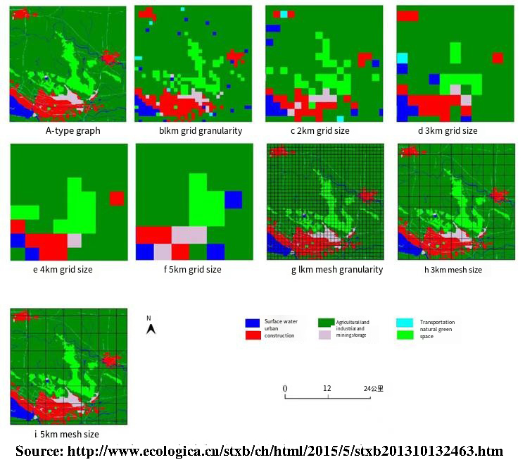


Urban planning is bound to involve spatial analysis, so it is necessary to specify its minimum analysis unit. Spatial granularity is the smallest recognizable unit in the landscape, which represents the characteristic length, area, or volume (such as patch size, actual quadrat size, pixel and resolution size of remote sensing image, grid pixel of image in the study area, sample quadrat, etc.), is the smallest mapping unit. The function, composition and structure of landscape are closely related to the spatial granularity of landscape. With the change of spatial granularity, the landscape pattern index will change accordingly.

Edited and translated by Zhang Yifei