
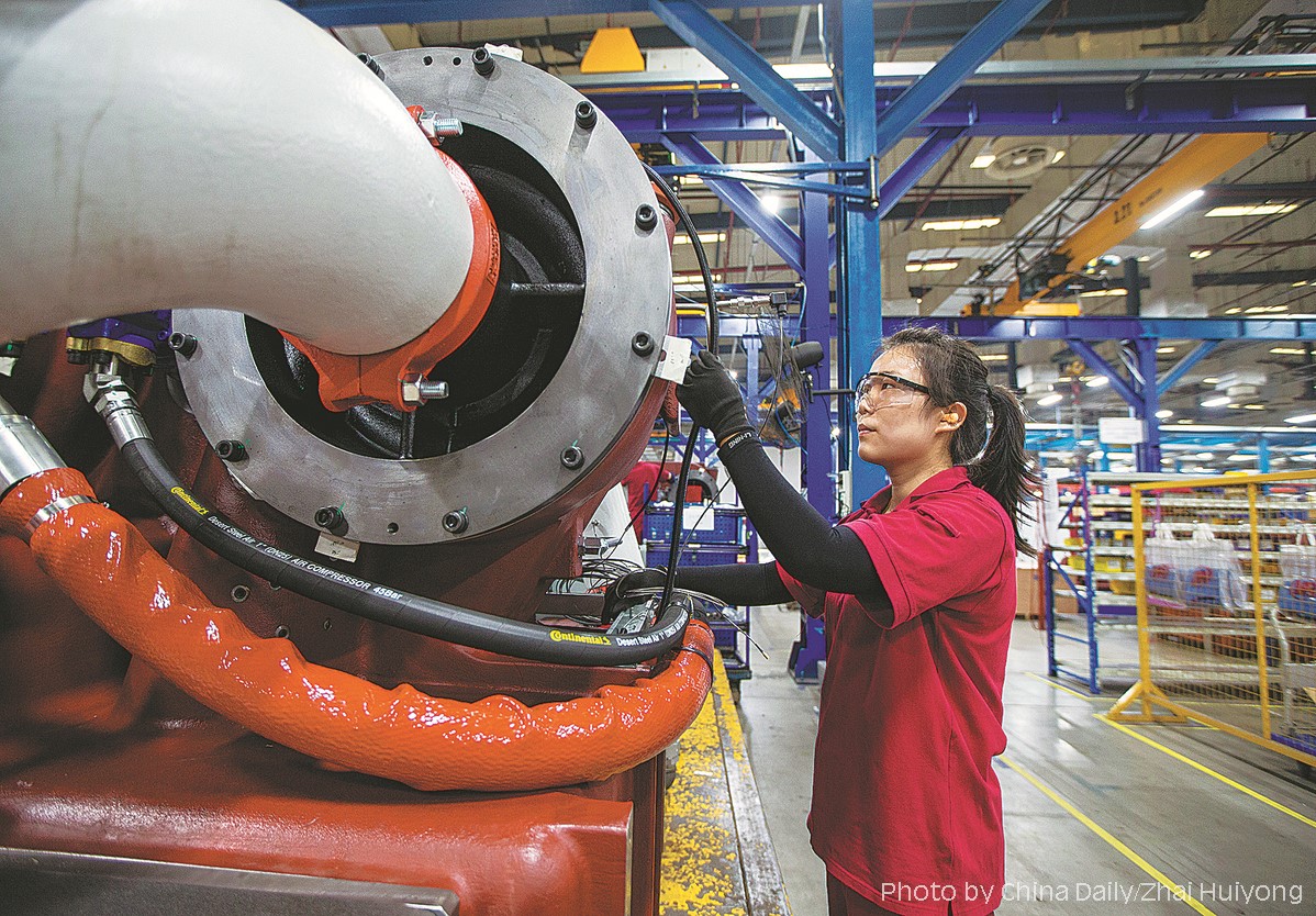
An employee checks equipment at an air compressor production facility in Suzhou, Jiangsu province. [China Daily/ Zhai Huiyong]
4. Territorial Spatial Layout.
4.1 Meet the basic needs and firm the territorial spatial base of "three zones and three redlines".
Coordinate efforts to draw up clear redlines for protecting the ecosystems, designating permanent basic farmland, and demarcating boundaries for urban development as the adjustment discipline of economic structure, planning industry, and urban and rural construction. By 2035, the demonstration zone must retain at least 766,000 mu (51,066.67 hectares) of farmland, including no less than 665,400 mu of permanent farmland. It also specified that the areas encircled in redlines for ecological protection in the demonstration zone should cover at least 143.32 square kilometers while the urban development areas cover 647.6 square kilometers. To implement the general requirement of promoting efficient and intensive use of land, the coverage of planned construction land should be controlled within 803.6 square kilometers by 2035 with a national land development intensity of 33.3%, and a reduction of 15.7 square kilometers of planned construction land.
For the pilot area of the demonstration zone, the principle of a blue-green space ratio of no less than 75% should be strictly followed. By 2035, the total area of planned construction land should not be higher than 164.7 square kilometers, building the pilot area into a practice place for ecological green and high-quality development, a core area of cross-border integration and innovation leadership, and an integrated leading area of world-class habitat model of water town. At the same time, the plan clearly states that the rigid control over the ecological protection redline will be strictly implemented, cultural heritage conservation lines will be delineated, security redlines must be ensured, and various types of risks in different spaces will be strengthened.
4.2 Break the administrative boundaries and optimize the territorial spatial layout.
Advance the core driving force. Take the Hongqiao Business District as the development power core and take the Dianshan Lake surrounding area as the innovation green core to build a world-class lake area with the urban-rural spatial layout of "two cores, four belts and five zones". Build a solid ecological base, create an ecological green core, two green corridors along the clear water, and many chains of blue lakes to form an ecological spatial layout of "one core, two corridors, three chains, and four zones" (i.e. to build the Dianshan Lake and Yuandang Lake as the ecological green core, to construct green corridors along the Taipu River and the Grand Canal, and form three blue lake chains linking the major lakes). With the focus on the pilot area, the guidance of the master plan should be strengthened, and "water town" functional units should be defined with clear functions and spatial layouts.
5. Planning Policies.
5.1 Highlight ecological greenness and fully implement the "carbon peaking and carbon neutrality goals".
Efforts will be made to expand the blue-green space to bring people bluer skies and greener mountains. By 2035, the proportion of the blue-green space in the demonstration zone will be no less than 66%, the water surface rate will be increased from 20.3% to 20.61%, the overall compliance rate of water quality of water functional zones will reach 100%, and the water quality of Taipu River will reach Class II to Class III. Besides, the energy consumption per10,000 yuan of GDP will be controlled below 0.22 tons of standard coal. At the same time, the biological carbon sink space will be expanded and the biological carbon sink capacity will be improved.
5.2 Strengthen the innovation capability and build a space carrier for "reseach-academia-industry".
Promote the launch of international and open research and academic institutions, and accelerate to build the demonstration zone into an important talent center and innovation highland in the Yangtze River Delta. Build a high-level modern service industry cluster, forming a layout of "one core leading, three cities supporting and multiple towns with distinctive features". Establish functional industry bases to attract industries such as life and health, digital economy, ecological and environmental protection, and so on.
5.3 Deepen connectivity and build an efficient and fast traffic network.
Establish a multi-level rail transit system consisting of trunk railways, intercity railways, urban railways, and urban rail transit facilities, strengthen the rail connection between the demonstration zone and the Hongqiao hub, and build a "demonstration zone on rails", and claim to achieve a 30-minute access from the water town to Hongqiao hub and a 90-minute access to Pudong Airport. Establish a characteristic traffic system consisting of scenic roads, waterfront roads, greenways, etc. By 2035, the lengthen of scenic roads will be no less than 3000 kilometers, the length of trunk greenways will be no less than 700 kilometers, the lengthen of waterfront roads will be no less than 200 kilometers, and the proportion of green travel will be increased to 80%.
5.4 Strengthen quality sharing and coordinate the high-quality development of public services.
Advance the integrated layout and sharing of high-level public service facilities. By 2035, strive to build 6 national museums of Class III or above and 3 "double world-class" universities (campuses). Meanwhile, actively introduce high-quality medical services and build an international sports platform at a high level.
Source: <http://english.www.gov.cn/policies/latestreleases/202302/21/content_WS63f459bbc6d0a757729e6ff1.html>
<https://www.shanghai.gov.cn/nw9822/20230222/f9e6f96bc6c948b3a6f08c607e7f3cc9.html>
Edited and Translated by Guo Xinxin
Copyright @ 2014 Urban Planning Society of China
Registration Number:05073892-1
